The Springbrook Creek Trail
The Cedar River Trail is a popular trail in South King County with ample riders and pedestrians. But over 100 years ago, there was another river, and very much the Cedar River’s equal, in the same area.
It was called the Black River. And guess what, it has a trail too.
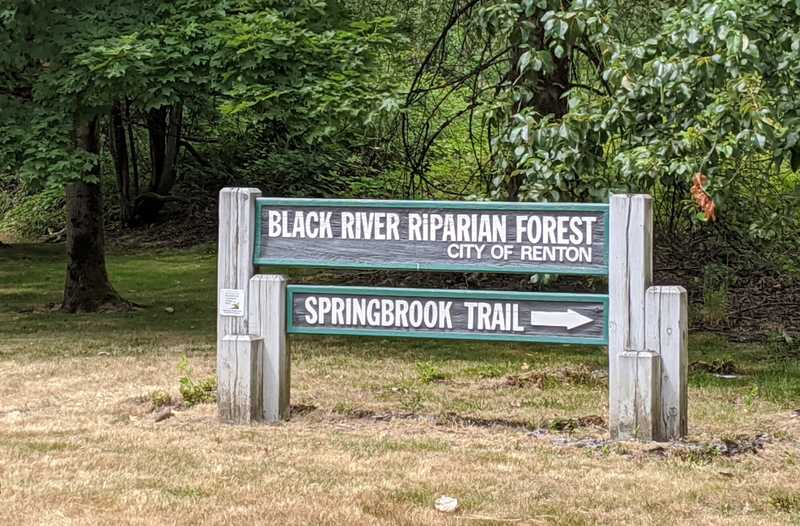
In 1916, the Black River dried up. To this day, it is still a very prominent creek called the Springbrook Creek (however on some maps and in some areas of it, it is still labeled as the Black River, which makes me happy). And while, as reported, it is only a creek in present day, part of its bed forms the Black River Riparian Forest.
The Springbrook Creek Trail is about 3 miles in length, but is poorly labeled, and most people only know about certain sections of it, and have no idea where it connects and re-connects, because for the connections that would need it the most, there is poor signage or none at all, mostly the latter. When a pedestrian gets to one of these intersections where the Springbrook Creek Trail meets a road, they assume the trail has ended, because there are no signs at all to lead them to the promised land.
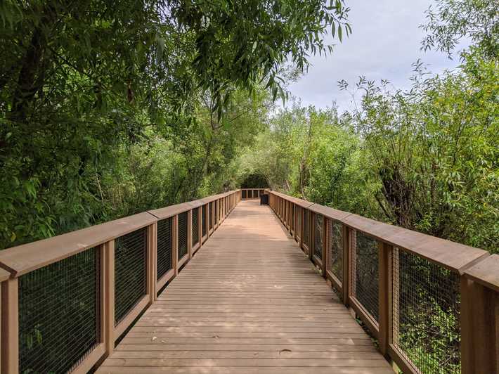
A great example of this is where, when traveling north on it, the Springbrook Creek Trail, after a stunning boardwalk experience, meets up with Southwest 27th Street. Here, it merely fades into oblivion, as there are no signs at all to inform anyone that:
- The trail has not ended, and;
- There is a simple way to walk and reconnect with the trail.
In reality, one merely needs to make a left on Southwest 27th Street (the street that the trail temporarily ends at), then make a right on Oakesdale Avenue Southwest. The trail then resumes about a half mile down the road, on the right hand (east) side.
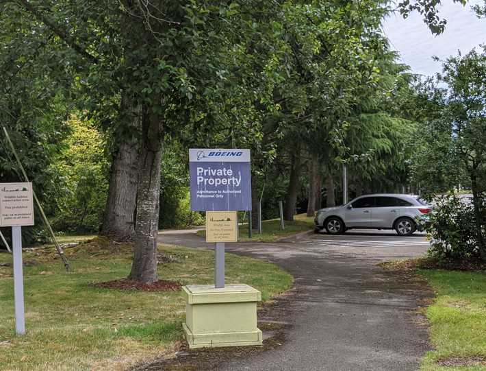
Interestingly enough, the next section is a section that goes through Boeing property. Believe you me, this is a public trail. But, Boeing seems to have just happened to place their property boundary signs near the trail’s entrances for this section.
There are other, similar, tough to navigate start and end points to various sections of this beautiful trail. Reminder, this is how one would travel it in it’s entirety.
There is something neat about its mythology now, as you really have to do some exploring to realize what this trail is, what the Springbrook Creek was, and how to navigate this wild passage.
But ultimately, it is such a unique trail with some real history, and it would be very appropriate to enshrine it, as we as a society have done for the Cedar River Trail. A start to this, would be to invest more resources and to do things like complete the signage. Anything to help people understand its true potential.
© 2020 KJELL7 Media Group


